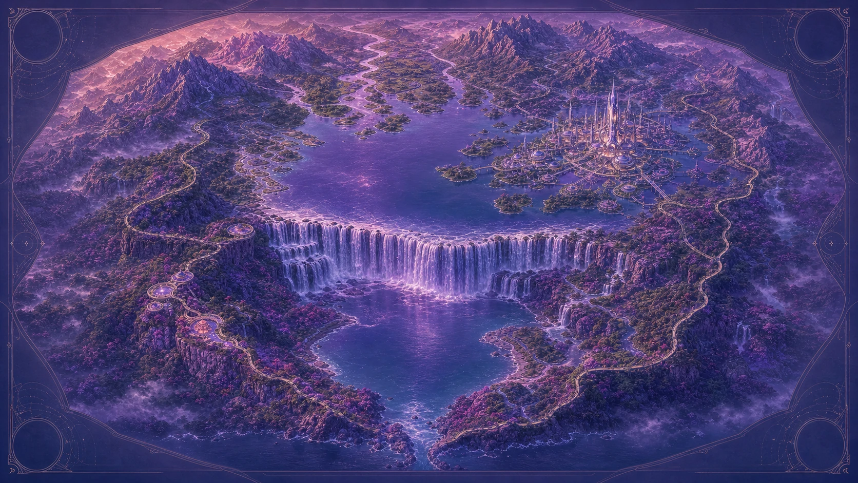
The Upper Lake is a geographic description, not yet a proper name. It holds the northern reach of the currently mapped Lumael watershed.
Beyond the falls
The lake feeds Veilfall from the north. From the lower basin, only portions may be visible beyond the escarpment, but the continuity of water is fundamental to Lumael's geography.
Avenor rises on the lake's eastern shore, farther from the cove than the falls. The lake should not be confused with Lumael Cove or moved south of Veilfall.
A name still open
No proper name has yet entered the accepted record. “Upper Lake” remains a clear working description until Veyra's living canon chooses something better.
The northern water in daily life
The lake is not empty distance between landmarks. Its water continues through Veilfall into every downstream garden and channel, while Avenor meets it through inhabited shores, waterways, terraces, and civic infrastructure. The city and the falls belong to one hydrological system even though they offer very different experiences of it.
Its position is established by the watershed, regional observations, and the current Atlas. Detailed shore communities, local routes, and a proper name remain open to later lore. Preserving that difference keeps a useful map from pretending to be a complete history.